After a soaking summer, it appears a showery autumn may bring some reprieve for many, but with unlucky exceptions. Our Head Meteorologist presents a detailed outlook on the rainfall prospects for autumn 2021.
SOAKING SUMMER FOR WESTERN & CENTRAL EUROPE
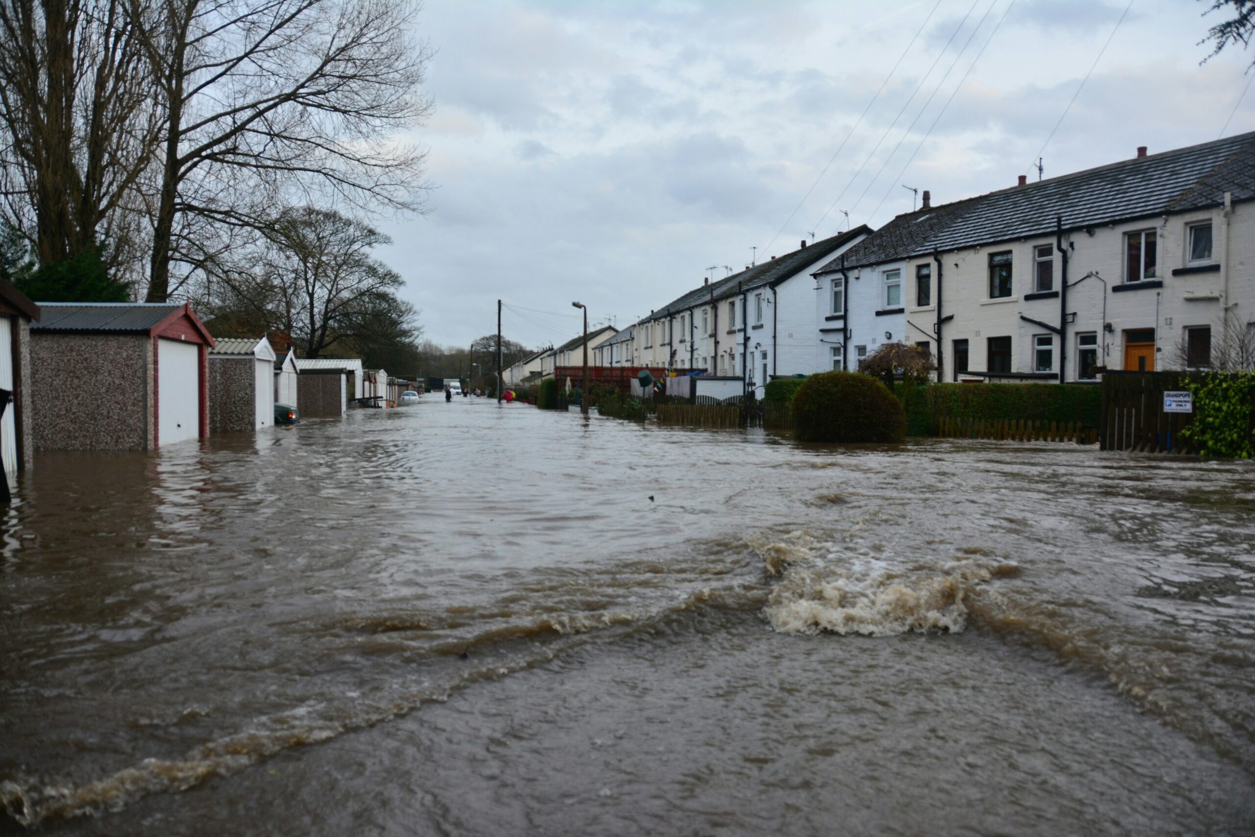
From Poland to north-eastern Spain, excessive rainfall has made for a tumultuous couple of months.

A lot of this has fallen in short spaces of time, in torrential showers or thunderstorms. Being summer, this is not unusual, but the sheer amounts have been. In July, flash-flooding events inflicted heavy damage across much of north-western and central Europe. Tragically, more than 100 deaths have resulted. In both months, some places have been subjected to large hail, even tornadoes (such as this deadly twister in the Czech Republic).
Sadly, August has picked up where July left off. There are some hopeful signs that it won’t be like this all month, but even then, it’s likely that central and western parts of Europe will have a large surplus of groundwater going into the autumn season.
Without much space in the soil to take up rainfall, the situation will be ripe for river flooding to develop. We need an unusually dry autumn to dry out the soils and reduce this risk. Most of all, an unusually dry first half, during which sunshine, day length, temperatures and plant take-up still are most in favour of drying out soils.
High time, then, for a look at what the MetSwift analogues suggest for autumn 2021.
SEPTEMBER: SIMILAR PATTERN… DIFFERENT RAINFALL?
The suggested predominant weather pattern bears some similarity to what we’ve seen in June and July. The average sea-level pressure (SLP) is favoured to be below normal (blue-purple shading) across some western parts of Europe:

This implies that low pressure systems will be located over the region more often than usual. While this sounds like a recipe for another soggy situation, a look at the temperature and rainfall tendency map suggests otherwise:

Here, above-normal rainfall is only suggested to affect central-southern and parts of Southeast Europe. How is that possible? Well, the SLP pattern corresponds to a ‘blocked’ setup, with high pressure near or over Scandinavia forcing low pressure systems from the Atlantic to stall out over western Europe.
This setup is often accompanied by a reduced number of low pressure systems moving eastward from the North Atlantic. The moisture-laden westerlies make less progress across Europe than usual.
This means that the rainfall pattern is mainly determined by the locations of weather fronts associated with stalling lows. In this setup, weather fronts tend to become slow-moving to the east of low pressure centres. The eastern side also draws relatively warm, moist air up from the Mediterranean, leading to increased rainfall.
Meanwhile, relatively cool air, with a lower moisture capacity, is drawn down the western side of the lows. Here, showery conditions predominate. That usually means near normal rainfall for most places, with just an unlucky few seeing more than the average.
OCTOBER: DRIER SOUTH WETTER NORTH
For this month, there are dramatic changes to the pattern of most likely monthly mean SLP. It’s almost a mirror image of the September pattern! SLP is most likely to be below normal across the northern half of Europe and above normal across both the southwest and southeast.

This corresponds to a northward shift in the typical path of low pressure systems moving off the North Atlantic. It’s a far more ‘progressive’ pattern compared to September’s. Which is to say, low pressure systems will tend to move through quickly, resulting in very changeable weather for the northern half of Europe.
The tendency map shows us what this means for rainfall distribution. Compared to the previous month, it’s wetter in the north and drier in the south:

More precisely, above-normal rainfall is predicted to be mainly restricted to parts of Scandinavia. Many eastern and south-western parts of Europe are suggested to be warmer and drier than average. This is the best combination for keeping groundwater levels down, which will be welcomed by some of those who’ve been deluged this summer.
On the other hand, if it’s too dry, that could cause problems for agriculture. That would also raise the requirement for a decent wet spell in the winter season, to ensure good water reserves for next spring and summer. A classic case of ‘be careful what you wish for’.
NOVEMBER: SHAKING UP THE PATTERN
For the final month of the season, the analogues suggest a return to a more blocked weather pattern, but of a slightly different ‘flavour’ to September’s.
Low pressure is favoured to be unusually prevalent over much of western Europe again, but with a predominance of high pressure to the west of there, instead of low pressure.

This combination of high and low pressure increases the frequency at which cool or cold air is drawn down toward southern Europe from between the northwest and northeast.
When such air reaches the relatively warm Mediterranean Sea, it tends to produce sprawling low pressure systems and heavy rainfall events. November 2021 could be a wet month for areas bordering that sea.
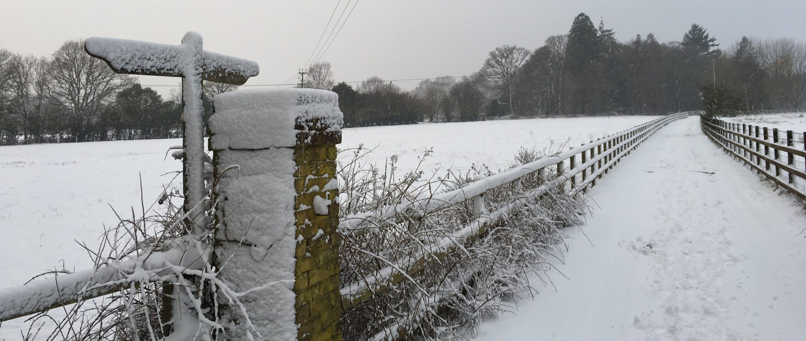
Away from there, the pattern supports predominantly showery weather. In November, showers tend to be occasional and light, leading to near or below average rainfall. In some cases, what falls may, in fact, be snow.

It’s not a resounding signal, though, with an appreciable chance of it being drier than average instead. This exists because in some of the analogue years, high pressure in the Atlantic extended across western Europe, resulting in a cold, dry sort of month there.
SIMMERING NORTHWEST PACIFIC – IMPLICATIONS?
I would usually wrap up a seasonal outlook at this point, but there’s a glaring anomaly I just can’t overlook. As of early August, the north-western Pacific Ocean is extraordinarily warm. The northeast is also largely above normal.
Such a wide and strong area of anomalously warm water is likely to have some impact on weather patterns far and wide. Not only that, but water tends to change temperature much more slowly than air, so this could be a significant player for several months.
Below is an autumn season monthly breakdown of mean sea-level pressure (SLP) anomalies for the past years in which July was very warm in the north-western Pacific. Green to yellow shading indicates above normal SLP (generally drier), blue to purple below normal (typically wetter).

The pattern is similar to what the MetSwift analogues suggest for September and October but differs markedly for November. High pressure is more influential across western Europe, while the below-normal SLP area is located much further northeast.
This implies that November could be cooler and drier in western Europe than the MetSwift analogues have suggested.
The high similarity pre-November has ties to two key driving forces (teleconnections) in the Pacific Ocean: The El Niño Southern Oscillation (ENSO) and Pacific Decadal Oscillation (PDO). In the years that had a warm north-western Pacific in July, both ENSO and PDO tended to be in their negative (cool) phases in Sep-Oct… and that’s precisely what MetSwift is expecting for 2021.
A PROMISING OUTLOOK BUT NOT WITHOUT RISK
In summary, the outlook shows some promise for drying out large parts of western and central Europe during autumn 2021.
However, the ‘blocked’ weather pattern for September and November should keep us on our toes. Associated showers and slow-moving weather fronts will likely hit a few areas hard while a majority escape much drier. Odds are, some unlucky locations will see above average rainfall, keeping the local area at risk of flooding as we head toward winter.
At the other extreme, some areas could be in for a notably dry autumn, creating a need for plenty of winter season rainfall to keep down the drought risk next spring and summer. Yes, drought risk! It’s amazing how fast things can change.
Wherever you are, may your autumn be mellow and flood-free.