A Breakthrough Launch
MetSwift is proud to announce the launch of Claros v3, our most advanced predictive weather model to date. Backed by rigorous multi-year validation, Claros delivers consistently strong performance on a global basis.
“Claros v3’s gains in accuracy turn the “impossible” 1-24 month range into an opportunity, providing skilful guidance where previously one had to rely on gut feeling or mere historical trends.” Ollie Lea, Managing Director, MetSwift.
Instead of relying heavily on historical climatology or long-term trends, Claros dynamically identifies how major driving forces behind day-to-day weather combine to affect the conditions we experience at ground level.
Model Strengths
V3 has been built to produce more accurate results for single locations or regional means, for a single day in the future or seasonal predictions, while also providing a greater pickup rate for anomalous or extreme weather. We’ve been quietly excited while validation results have unfolded these past few weeks.
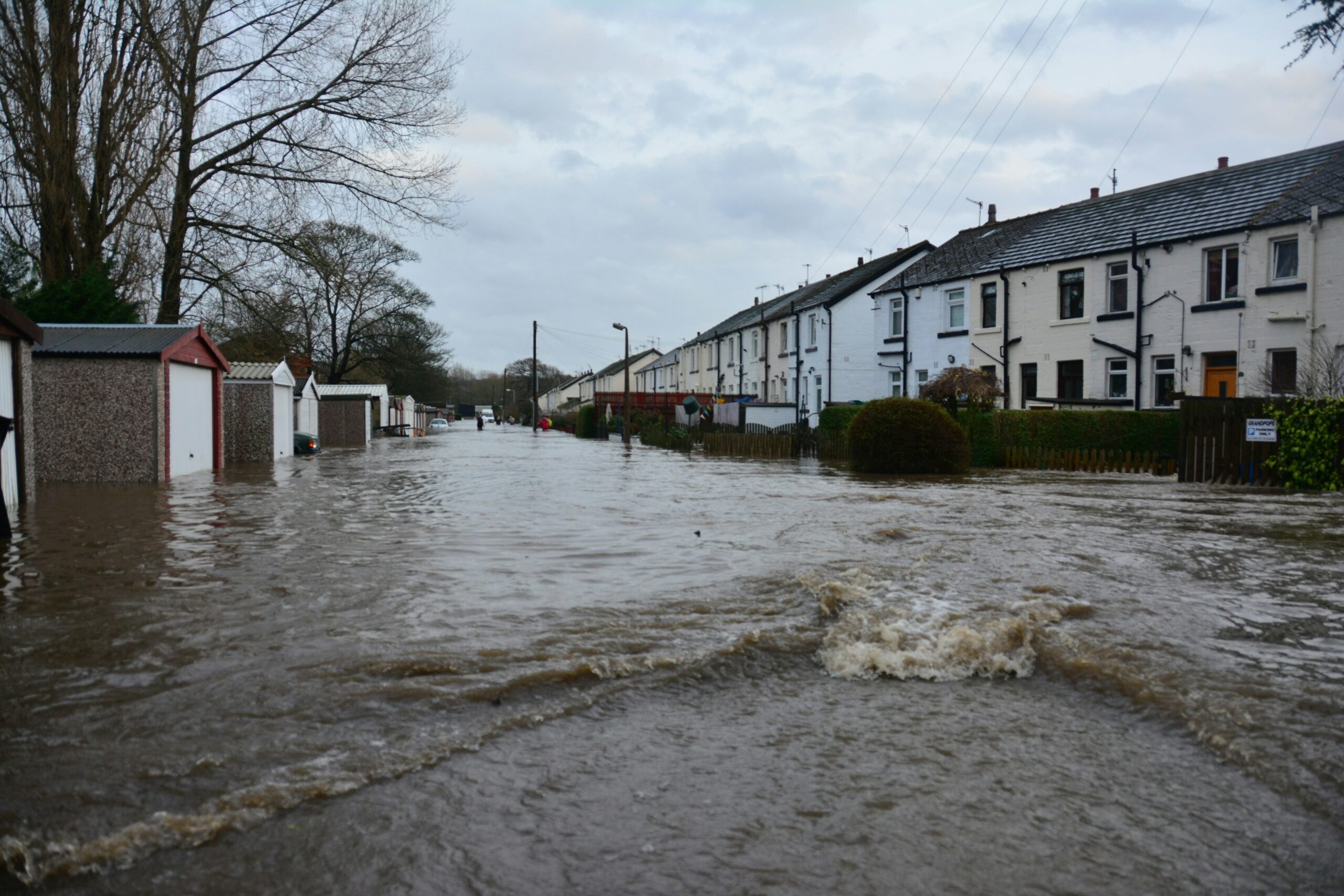
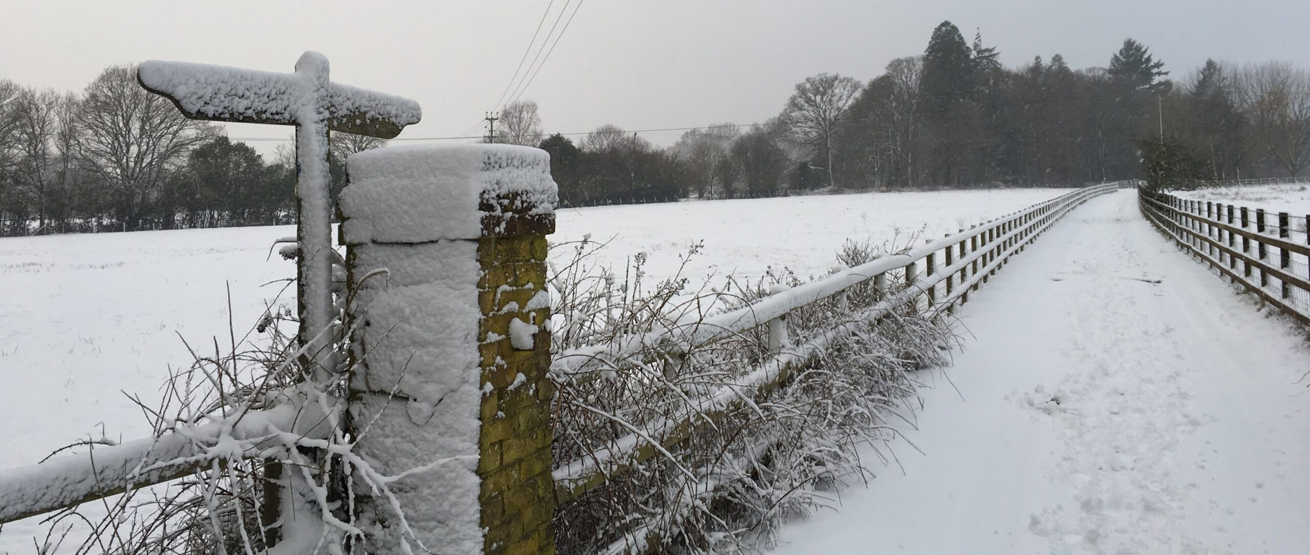
One of Claros v3’s great strengths lies in its awareness of how the major driving forces can drive deviations from the long-term trend. The result is not just better predictions on average, but an ability to see when trends alone are likely to mislead. This is borne out by the validation; when the weather doesn’t follow the trend Claros shows greater gains over a ‘detrended’ baseline (essentially trend-adjusted averages). With uncertainty in weather on the rise, Claros’ ability to keep up with, and predict, how climate change is affecting weather volatility a crucial advantage.
In fact, Claros v3’s consistency of gains is unique in the field. Across predictions for a single day or a whole season, for a single location or a regional mean, Claros shows significant gains throughout a 2-year predictive horizon. Like almost all other meteorological models, our starting point for validation is to benchmark against climatology. We do so using two variations of climatology – ‘raw’ and ‘detrended’. This is important as in some regions, for some weather variables, raw historical averages can be a better predicter of the weather than a continuation of trend (when this occurs for a long period it’s referred to as a climate change hiatus).
How Does Claros v3 Stack Up?
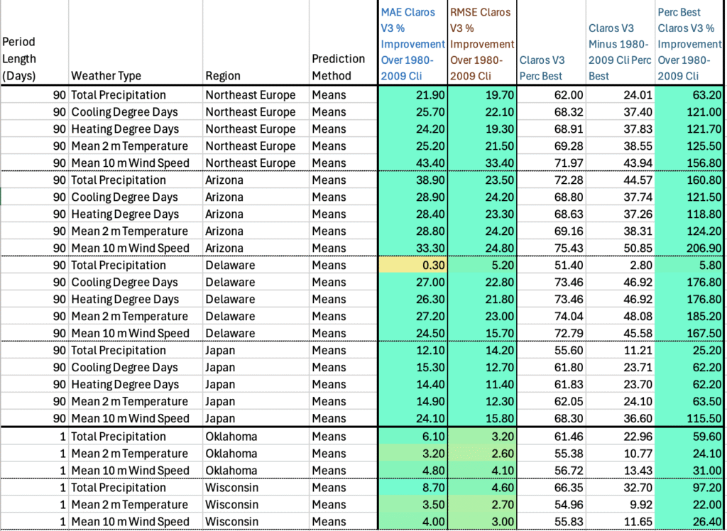
It’s also important to us that we understand how this performance stacks up against other models. Whilst they don’t make predictions out to 2 years, ECMWF has historically provided the gold standard for the first 90 days or so. Here’s a summary of a recent comparison study:
Summary (Temperature): In mid-latitude regions (Europe, U.S., Australia), Claros v3 provides equal or better long-range temperature skill than ECMWF’s SEAS5 or EC46, when measured against the same baseline. Claros’s 1-day-ahead forecasts (averaged over 30–721 day leads) show positive skill (e.g. ~5% MAE improvement) where traditional models have almost none, and its 90-day (seasonal average) forecasts significantly beat climatology (20%+ error reductions) where ECMWF’s skill is marginal. In tropical regions both systems have skill, but Claros matches the dynamical models while providing a more consistent baseline improvement.
Summary (Precipitation): Both Claros v3 and ECMWF’s S2S systems face challenges in long-range precipitation forecasting, but Claros consistently outperforms a climatology baseline across regions, whereas ECMWF’s gains are confined to specific areas/times. Claros’s 90-day precipitation predictions are ~5–10% more accurate than climatology in Europe, the U.S., and Australia, providing tangible skill where ECMWF models often have no statistically significant skill beyond 4 weeks. In the tropics, ECMWF and C3S have higher skill, yet Claros holds its own, offering useful precipitation outlooks without the large skill “dropouts” that dynamical models suffer (e.g. zero-skill pockets where climatology would do better). This suggests Claros can deliver more stable and reliable long-term rainfall predictions in many mid-latitude cases where traditional forecasts revert to baseline.
Summary (Wind): Long-range wind speed forecasts have been a weak spot for conventional models, especially over land. Claros v3 stands out by delivering substantial error reductions vs climatology (15–25%) for 90-day mean winds in Europe, the U.S., and Australia. It consistently outperforms the baseline in ~60–70% of cases for these regions, whereas ECMWF’s extended forecasts show patchy skill at best, with many areas seeing no significant improvement. Claros’s equal-or-better skill is most striking in mid-latitudes beyond 30 days – exactly where ECMWF’s skill “decreases much faster” and drops to low values by week 4. In practical terms, Claros can provide a usable long-term wind outlook (e.g. for energy production planning), while ECMWF and C3S forecasts for 4–6 weeks out are often no more useful than assuming average climatology in many locations.
Our Head Meteorologist, James Peacock MSc, sums up his reading of the results:
“Claros’s superior long-lead performance in regions and times where ECMWF’s forecasts have limited skill demonstrates a breakthrough in predictive capability. It offers organisations a head start of weeks, months or even years over traditional forecasts, empowering proactive decision-making in climate-sensitive operations. In summary, Claros v3 brings a new level of confidence to long-range weather forecasting – delivering actionable insight well beyond the 30-day horizon, where others fall back to climatology.“
Check out the original paper comparing Claros v3’s validation results to seasonal forecasts from ECMWF here.